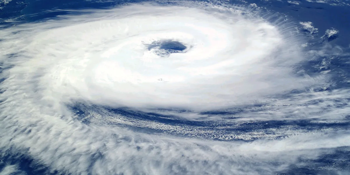
India’s coastal regions may see increased cyclone activity during the last three months of 2026. According to a weather-related estimate cited by ISRO, around three tropical cyclones could develop over the North Indian Ocean between October and December. The combined strength of these possible cyclones is estimated to be around 83% higher than the average recorded over the past 44 years.
Arabian Sea and Bay of Bengal May See More Activity
The post-monsoon period usually sees more cyclone activity over the Arabian Sea and the Bay of Bengal. If strong systems develop, coastal areas could experience heavy rain, strong winds and high waves. Gujarat and Maharashtra are among the western coastal states that will need to closely watch developments in the Arabian Sea.
The estimate uses the Power Dissipation Index (PDI) to measure the overall potential strength of cyclone activity. For October–December 2026, the PDI is estimated at around 13.06 × 10⁶ knots³, compared with an average of about 7.15 × 10⁶ knots³ between 1982 and 2025. However, this is a seasonal forecast and does not mean that three cyclones will definitely hit Gujarat or India. The exact location, path and landfall of any cyclone can only be known once a system actually forms and further weather updates are issued.